Manaslu Trekking Guide 2025 / 2026
Routes, permits, cost, difficulty, packing, and everything in between, written from over 20 circuits completed as a licensed Manaslu guide. Contact our best manaslu trek company for customised itineraries and expert guidance.
What Is Manaslu Trekking?
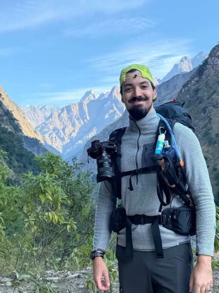
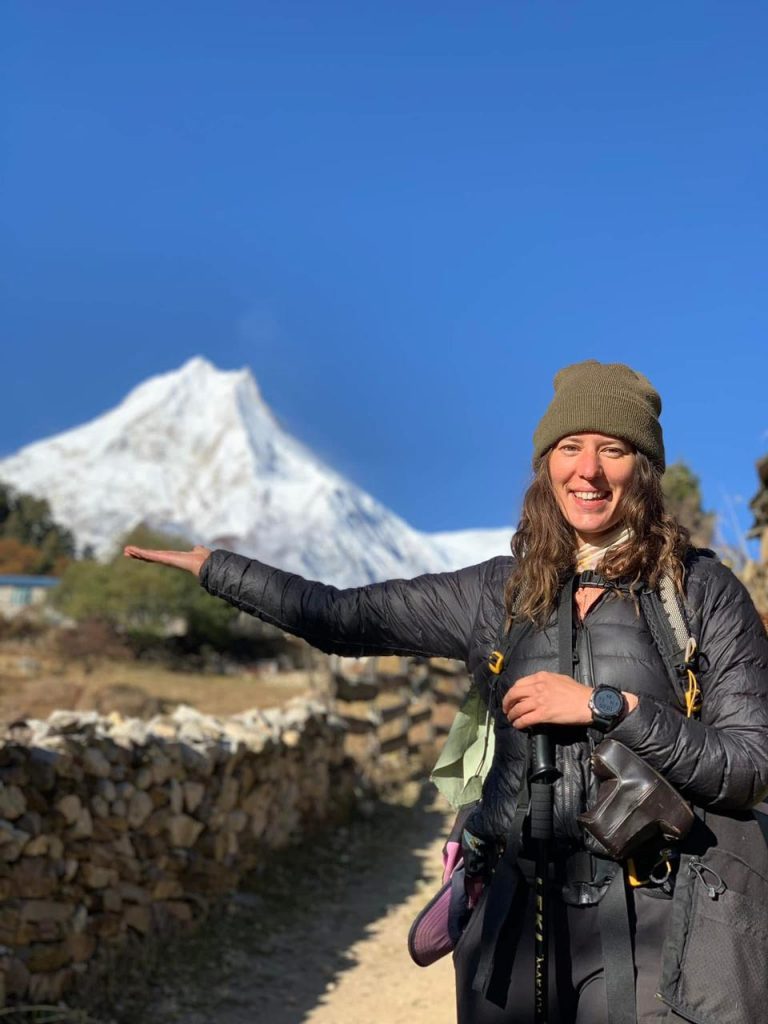
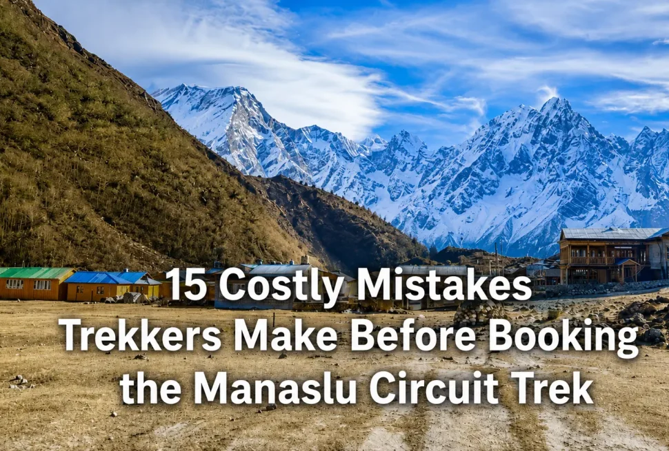
The Manaslu region sits in the Gorkha district of Gandaki Province, directly north of Arughat Bazar. The circuit follows the Budhi Gandaki River upstream through one of Nepal’s last restricted trekking zones, looping around the base of Mount Manaslu, the world’s eighth highest peak at 8,163 metres. Every season I lead groups through this valley, the same question comes up at the beginning: is this everything people say it is?
The honest answer is yes. This is the one major Himalayan circuit that still feels remote in the way that the Annapurna Circuit did thirty years ago. The trail passes through Tibetan-influenced villages where people still practice Bon and Tibetan Buddhism, where prayer flags have faded over decades rather than years, and where mule trains carry more supplies than tourist groups. You share the trail with local salt traders and herders as much as you share it with international trekkers.
The route gained its restricted area status in 1991, which is also when it first officially opened to foreign trekkers. Before that, the region was closed entirely. The restricted area regulation is still in force today, which is one major reason why commercial pressure on the trail and the villages remains far lower than on routes like Everest Base Camp and the Annapurna Circuit.
Manaslu trekking is not one route. It is a family of routes that share the Budhi Gandaki corridor but diverge significantly depending on how much time you have, whether you want to include the Tsum Valley, and whether you are prepared to cross Larkya La or need an alternative exit. The sections below cover all main options so you can identify which route fits your schedule and physical preparation.
This guide covers every aspect of planning a Manaslu trek in 2026 and 2027. Whether you are comparing routes, calculating total cost, trying to understand the permit system, or looking for a day-by-day itinerary, everything you need is here based on how this circuit actually operates, not how it looks on paper.
Route Options and Variations
Most guides and agencies present the Manaslu Circuit as a single standard route. In practice there are four distinct routes based on duration, permitted access, and personal interest. Here is how each one works:
Manaslu Circuit Trek
The primary circuit. Starts in Soti Khola or Machha Khola and completes at Besi Sahar after crossing Larkya La at 5,106 m. This is the route most international trekkers complete. Duration depends on acclimatization pace and extensions included.
Tsum Valley Extension
The Tsum Valley is a hidden sacred valley north of Philim that requires a separate restricted area permit. Most trekkers who add Tsum enter via Chumling and exit back to the main circuit at Philim. This is culturally the most significant part of the region.
Short Manaslu Trek
A reduced circuit that reaches Samagaun or Samdo but does not cross Larkya La. Used by trekkers with limited time or those who want to see the high altitude sections without completing the full crossing. Exits via the same Budhi Gandaki valley.
Manaslu Photography Trek
Structured version of the main circuit with pace adjusted for golden hour photography at key viewpoints including Birendra Lake at sunrise, the moraines above Samagaun, and the high ridgeline approaching Larkya La. Requires no additional permit.
The majority of trekkers I guide opt for either 14 days or 16 days. The 14-day version is tight and requires no wasted mornings. The 16-day version adds a rest day at Samagaun, which I recommend for almost everyone who does not have prior high altitude experience above 4,000 metres. Groups that include the Tsum Valley typically need 19 to 22 days total, and this is the version I personally consider the most complete experience this region offers.
The Manaslu Circuit is also sometimes linked directly with the Annapurna Circuit at Besi Sahar. This gives you a 25 to 30-day route that covers two of Nepal’s most iconic circuits in a single trip, finishing at Nayapul or Jomsom. This linkage requires separate permits for both circuits and suits trekkers who can spend more than three weeks in Nepal.
Difficulty Level Explained
The Manaslu Circuit is classified as a moderate to strenuous trek. I use this combined description deliberately because the first half of the route through the lower Budhi Gandaki gorge is genuinely moderate, while the upper sections above 3,500 metres including the Larkya La crossing are strenuous by any honest measure.
Daily Walking Demands
On most days you walk between 4 and 7 hours. The gorge sections in the first three days below Jagat can be longer due to the trail following the river with limited shortcut options. From Deng onwards the daily stages become more manageable in terms of distance but the altitude gain per day increases. The section from Dharapani to Besi Sahar on the final day is a long descent that most people find harder on the knees than any ascent during the circuit.
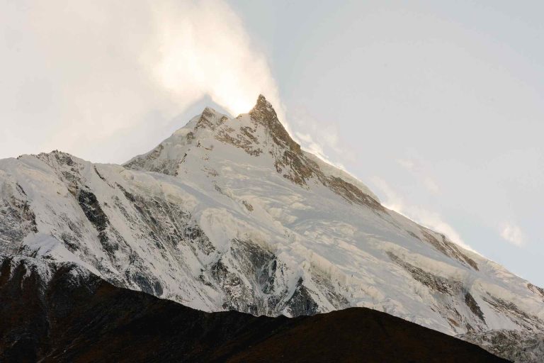
Larkya La Pass
Larkya La sits at 5,106 metres above sea level. This is not a gradual climb. The ascent from Larkya Phedi base camp to the pass summit gains approximately 800 metres in a few hours, crossing permanent snowfields and scree even in October and April. Cold temperatures before dawn, combined with the altitude and the physical effort, make this the hardest single day of the entire circuit. Most groups start at 4:30 a.m. to clear the pass before afternoon cloud and wind arrive.
On the far side of the pass the descent to Bimthang is long and steep, covering nearly 1,200 metres of elevation loss. Trekkers with knee problems find this section more challenging than the ascent.
| Comparison Factor | Manaslu Circuit | Everest Base Camp | Annapurna Circuit |
|---|---|---|---|
| Max Altitude | 5,106 m (Larkya La) | 5,364 m (EBC) | 5,416 m (Thorong La) |
| Daily Walk Time | 4 to 7 hours | 4 to 6 hours | 4 to 7 hours |
| Trail Condition | Rough, some landslide risk | Well maintained | Mixed, road sections |
| Remoteness | High | Low to moderate | Low to moderate |
| Rescue Access | Helicopter from Samagaun | Good throughout | Good throughout |
| Physical Demand | Moderate to strenuous | Moderate | Moderate to strenuous |
| Pass Crossing | 1 major pass | None | 1 major pass |
Who Is This Trek Suitable For?
Anyone with good cardiovascular fitness and prior trekking experience at altitude above 3,000 metres can complete this circuit safely with proper planning. No technical mountaineering skills are required. Prior trekking experience in Nepal is not mandatory but makes acclimatization and trail logistics significantly easier to manage. Age is not a determining factor in my experience. I have guided clients in their sixties who were stronger at altitude than clients in their twenties, because fitness and preparation matter more than age.
Best Time to Trek Manaslu
There are two primary trekking seasons and two periods when trekking is inadvisable. Here is how each season actually performs on the ground, not in theory:
October is consistently the best month across every measure. The trail is stable, views are unobstructed, the pass is safe, and the entire teahouse network is operating at full capacity. If you have flexibility in your schedule, build your trek around an October departure from Kathmandu.
April is my recommendation for anyone who cannot travel in autumn. The trail is beautiful at lower elevations with rhododendrons in bloom, and the mountain views are clear in the mornings. The main adjustment is that Larkya La may have more snow in April than in October, so crampon-ready footwear or microspikes are worth packing.
Permits and Regulations
The Manaslu region is a restricted area. This means you cannot trek here independently. A licensed Nepali guide is legally required for the entire circuit, and permits must be arranged before you enter the region. There are three separate permits needed for the main Manaslu Circuit, and an additional permit for the Tsum Valley extension.
Peak season is defined as September, October, November, March, April, and May. Off-season rates for the restricted area permit are lower. All permits must be obtained in Kathmandu before departure. A registered trekking agency handles the application process on your behalf. Individual permit applications cannot be processed without agency involvement due to the restricted area requirement.
Checkpoints along the route verify permits at Jagat, Deng, Namrung, Samagaun, and Samdo. Your guide carries the permit documents and manages all checkpoint procedures. Attempting to pass checkpoints without proper documentation results in fines and forced return to Kathmandu. There are no exceptions to this in the field.
Standard 14-Day Itinerary
This is the itinerary I use most frequently with international groups. It builds in a proper acclimatization day at Samagaun and covers all major sections of the circuit including the Larkya La crossing. The pace is not rushed, but there is no significant buffer. Trekkers with prior experience at 4,000 metres generally handle this schedule well.
| Day | Route | Altitude | Walk Time |
|---|---|---|---|
| Day 1 | Kathmandu to Soti Khola (jeep) | 710 m | 8 to 10 hours drive |
| Day 2 | Soti Khola to Machha Khola | 869 m | 5 to 6 hours |
| Day 3 | Machha Khola to Jagat | 1,340 m | 6 to 7 hours |
| Day 4 | Jagat to Deng | 1,804 m | 5 to 6 hours |
| Day 5 | Deng to Namrung | 2,630 m | 5 to 6 hours |
| Day 6 | Namrung to Samagaun | 3,530 m | 5 to 6 hours |
| Day 7 | Acclimatization at Samagaun (Manaslu Base Camp or Birendra Lake hike) | 3,530 m | 2 to 4 hours optional |
| Day 8 | Samagaun to Samdo | 3,875 m | 3 to 4 hours |
| Day 9 | Samdo to Larkya Phedi Base Camp | 4,460 m | 3 to 4 hours |
| Day 10 | Larkya Phedi to Bimthang via Larkya La (5,106 m) | 3,590 m descent | 8 to 9 hours |
| Day 11 | Bimthang to Dharapani | 1,960 m | 5 to 6 hours |
| Day 12 | Dharapani to Tal or Chame (jeep or walk) | 1,700 m | 3 to 5 hours |
| Day 13 | Chame to Besi Sahar (jeep) | 760 m | 3 to 4 hours drive |
| Day 14 | Besi Sahar to Kathmandu (bus or jeep) | 1,400 m | 6 to 8 hours drive |
The acclimatization day at Samagaun on Day 7 is not optional in my opinion. It is the most important day of the entire itinerary from a health perspective. We use this day to hike up to Birendra Lake at 3,780 metres or towards Manaslu Base Camp, both of which give excellent altitude conditioning and allow the body to adjust before the climb to Samdo. Groups that skip this day have a noticeably higher rate of altitude symptoms at Larkya Phedi.
Tea Houses, Food, and Water
Tea houses on the Manaslu Circuit are not the same as tea houses on the Everest or Annapurna routes. Below Jagat the infrastructure is basic but adequate. Above Namrung the picture changes. Tea houses in Samagaun, Samdo, and Larkya Phedi are simple structures with shared bathroom facilities, thin walls, and limited blanket supply. You need a sleeping bag rated to minus 10°C at minimum, and minus 15°C if you are trekking in late October or November.
Food on the Circuit
Dal bhat is available and reliable at every tea house on the route. It remains the best choice at altitude because the hot meal provides consistent calories and the portions are refillable. Tibetan bread, noodle soup, pasta, and fried rice are available from Namrung upwards. Avoid meat above 3,000 metres. There is no supply chain capable of keeping fresh meat safe at the pace it moves through these high altitude villages. Vegetarian food is the practical and safe choice above Samagaun.
Tea houses charge extra for hot showers above 3,500 metres. Electricity comes from solar panels or small hydro generators and is intermittent. Charging devices is not always reliable. Carry a power bank of at least 20,000 mAh and charge everything fully in Arughat or Soti Khola before heading into the upper valley.
Drinking Water
Tap water from mountain streams is not safe to drink untreated. Use purification tablets or a filter at every stage. Boiled water sold by tea houses is safe. Bottled water is available at higher prices the further you go from the road. Carry a 2-litre capacity system and treat your own water to avoid daily bottled water costs above Deng.
Cost Breakdown for the Manaslu Circuit
The total cost of a Manaslu Circuit Trek depends on whether you book a fully guided package, arrange permits and transport independently, and what level of tea house accommodation you choose. Here is an honest cost estimate for both approaches:
| Cost Item | Approximate Amount (USD) | Notes |
|---|---|---|
| Restricted Area Permit | 100 to 200 | Depends on duration and season |
| Conservation Area Permits (x2) | 46 | MCAP and ACAP combined |
| Licensed Guide (14 days) | 280 to 350 | Plus tips, typically USD 150 to 200 |
| Porter (optional, 14 days) | 210 to 280 | Plus tips |
| Jeep: Kathmandu to Soti Khola | 30 to 45 | Per seat, shared jeep |
| Return: Besi Sahar to Kathmandu | 15 to 25 | Bus or shared jeep |
| Tea House Accommodation | 140 to 280 | USD 10 to 20 per night for 14 nights |
| Food and Drinks | 280 to 420 | USD 20 to 30 per day |
| Travel Insurance | 80 to 150 | Must include helicopter evacuation |
| Approximate Total | 1,180 to 1,800 | Excluding flights to Kathmandu |
Fully guided packages from agencies like Manaslu Treks and Expedition typically range from USD 1,500 to USD 2,200 per person for 14 days including all of the above. Package pricing is competitive with self-arranged logistics when you factor in the time and complexity of permit processing, which requires a registered agency in any case.
Packing List for the Manaslu Circuit
This is the packing list I give to every client before departure. It is based on what actually matters on the trail, not a comprehensive camping gear inventory.
Clothing and Layering
- Moisture-wicking base layers (top and bottom), 2 sets
- Insulating mid-layer, fleece or down jacket
- Hardshell waterproof and windproof jacket
- Softshell or trekking pants, 2 pairs
- Down jacket for evenings and the Larkya La crossing
- Warm hat and buff, gloves and liner gloves
- Sun hat or cap for lower elevations
- Trekking socks, 3 to 4 pairs (merino wool preferred)
- Gaiters for snow sections near Larkya La
Footwear
- Waterproof trekking boots, well broken in before departure
- Camp sandals or light shoes for evenings
- Microspikes or crampon attachment for Larkya La in April or late season
Gear and Equipment
- Sleeping bag rated to minus 15°C (do not rely on tea house blankets alone)
- Trekking poles, adjustable, with rubber tips
- Headlamp with spare batteries, early starts on Larkya La day are pre-dawn
- Power bank, 20,000 mAh minimum
- Water purification tablets or filter bottle
- Sun protection: SPF 50 plus sunscreen, UV-blocking sunglasses
- Blister kit, basic first aid supplies
- Altitude sickness medication: Diamox if prescribed by your doctor
- Personal medications plus small pharmacy: ibuprofen, antidiarrheal, antihistamine
Documents and Money
- Passport (original) for all permit checkpoints
- Copies of all permits, stored separately from originals
- Cash in Nepali rupees: no ATMs above Arughat Bazar on the trail
- Travel insurance card and emergency contact numbers
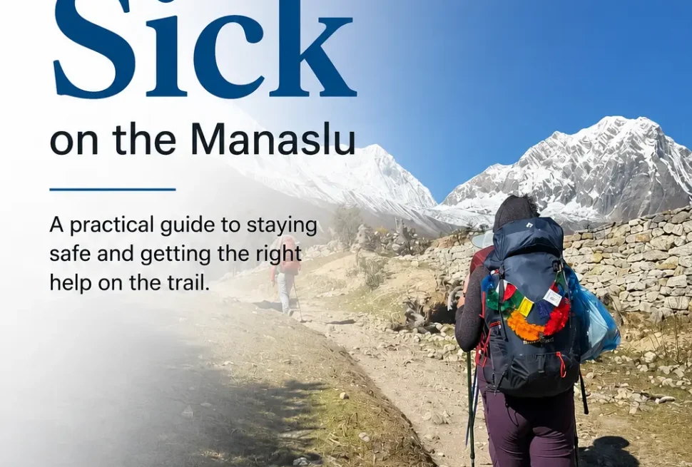
Altitude Sickness and Safety
Acute Mountain Sickness (AMS) is the primary health risk on the Manaslu Circuit. The remoteness of the upper sections makes this risk more consequential than on routes with better helicopter access and road infrastructure. Understanding how AMS develops, how to recognize symptoms, and what to do in an emergency is not optional preparation for this trek.
How AMS Develops on This Route
Most trekkers who develop AMS on the Manaslu Circuit do so between Namrung and Samagaun, or at Larkya Phedi and the pass itself. The elevation gain from Namrung at 2,630 metres to Samagaun at 3,530 metres happens in a single day on the standard itinerary, which is within recommended guidelines but leaves little room for a slow acclimatizer. From Samagaun the elevation continues to increase to Samdo at 3,875 metres and Larkya Phedi at 4,460 metres.
| Symptom | Severity | Action Required |
|---|---|---|
| Headache, fatigue, reduced appetite | Mild AMS | Rest, hydrate, do not ascend. Take Diamox if prescribed. |
| Persistent headache despite rest, vomiting, dizziness | Moderate AMS | Descend at least 300 to 500 m immediately. Do not sleep at current altitude. |
| Confusion, loss of coordination, wet cough, breathlessness at rest | Severe AMS / HACE / HAPE | Emergency descent and helicopter evacuation. Life-threatening. |
The rule I apply with every group is this: never ascend with symptoms. It does not matter how close you are to the pass, how good the weather is, or how much time pressure you are under. AMS that you walk up through becomes HACE or HAPE. These are medical emergencies in a location where helicopter landing zones exist only at Samagaun and occasionally at Bimthang. Between those points, evacuation is extremely difficult.
Helicopter Evacuation and Insurance
Travel insurance that includes helicopter evacuation coverage is not optional for this trek. A medical evacuation from Samagaun to Kathmandu by helicopter costs between USD 3,000 and USD 5,000. Insurance policies that cover trekking above 4,000 metres with helicopter rescue are widely available and cost USD 80 to USD 150 for two weeks. There is no rational reason to skip this.
Plan Your Manaslu Trek With a Local Expert
We handle permits, licensed guides, tea house logistics, jeep transfers, and all documentation from Kathmandu. You show up and trek.