- 13
- 2
Manaslu Treks & Expedition Nepal Pvt Ltd
{"tables":["wp_wptravelengine_events"],"review_meta_keys":["_wte_review_stars","_wte_review_country"],"wte_options":[],"review_comments":[]}
Manaslu Treks & Expedition Nepal Pvt Ltd
{"tables":["wp_wptravelengine_events"],"review_meta_keys":["_wte_review_stars","_wte_review_country"],"wte_options":[],"review_comments":[]}
The Tsum Valley and Manaslu Circuit Trek combines two of Nepal’s most remote routes into one extended Himalayan journey. The Tsum Valley is a sacred Buddhist valley hidden in the upper Budhi Gandaki drainage, above the Ganesh Himal range, only accessible to outsiders since 2008. Connecting it to the full Manaslu Circuit gives you a single 18 to 22 day route covering ancient gompa monasteries, high-altitude yak pastures, Tibetan-speaking communities, and the Larkya La Pass at 5,106 m. It is one of the most complete cultural and high-altitude trekking experiences available in Nepal.
| Detail | Information |
|---|---|
| Duration | 18 to 22 days from Kathmandu |
| Maximum Altitude | 5,106 m / 16,752 ft (Larkya La Pass) |
| Tsum Valley High Point | Mu Gompa (3,700 m) or Ngak Dhar (4,070 m) optional |
| Trek Grade | Moderate to Challenging |
| Trek Start | Machha Khola (900 m) |
| Trek End | Dharapani (1,860 m) |
| Best Season | March to May and September to November |
| Permits Required | RAP, MCAP, ACAP, Chum Nubri Permit, Tsum Valley special permit |
| Guide Requirement | Mandatory by Nepal government |
| Package Cost | From USD 1,490 per person (group rate) |
| Key Villages | Tsum: Chumling, Chhokang Paro, Nile, Mu Gompa; Manaslu: Jagat, Samagaun, Samdo |
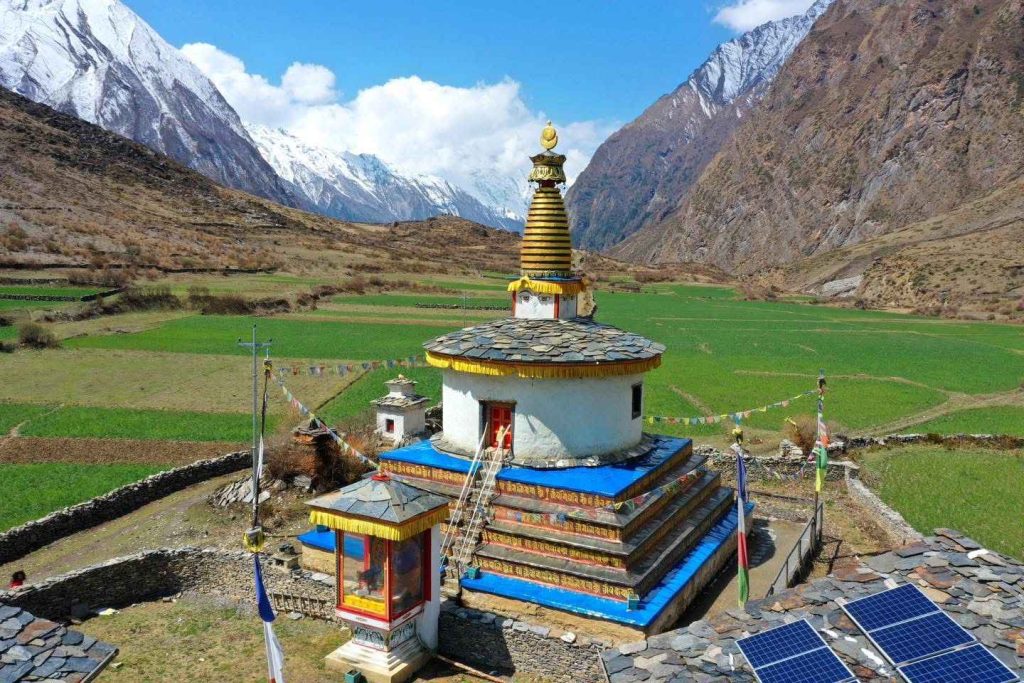
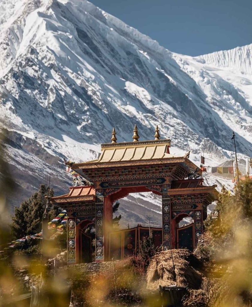
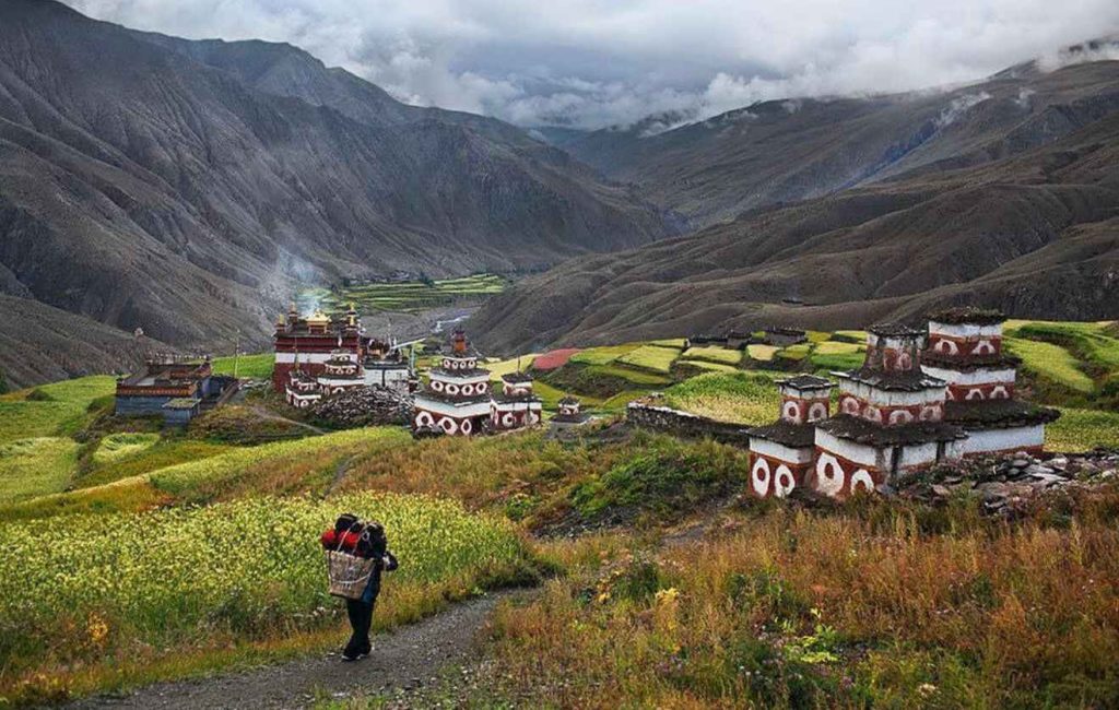
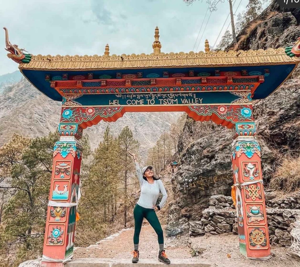
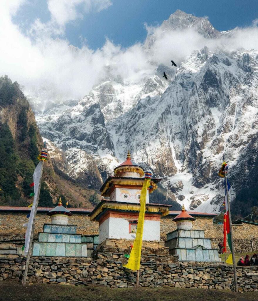
The Tsum Valley sits above the village of Lokpa and is accessible only via a side trail from the main Budhi Gandaki route. Unlike villages on the Manaslu Circuit main route, Tsum has had almost no outside influence until very recently. The valley follows Bon and Nyingma Buddhist traditions, residents speak a Tibetan dialect, and ancient monasteries including Mu Gompa and Rachen Gompa are active religious centres, not tourist sites. The communities of Chumling, Chhokang Paro, and Nile are among the few places in Nepal where you can observe a traditional Himalayan farming and pastoral way of life that functions largely independently of the money economy that has transformed most Everest and Annapurna villages.
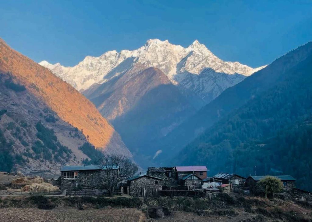
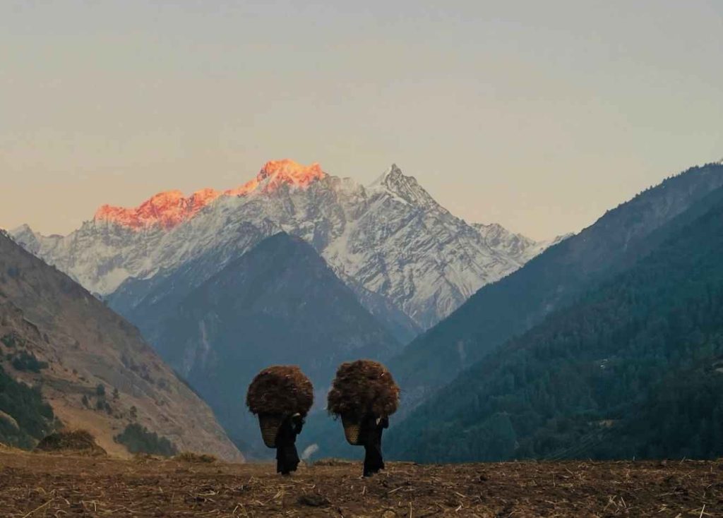
The highest point of the Tsum Valley section is Mu Gompa at approximately 3,700 m, though stronger trekkers can continue to Ngak Dhar (4,070 m) for views toward Ganesh Himal and Sringi Himal. The valley is framed on three sides: Ganesh Himal (7,422 m) to the west, Baudha Himal (6,672 m) and Himal Chuli (7,893 m) to the east, and Sringi Himal (7,161 m) to the north.
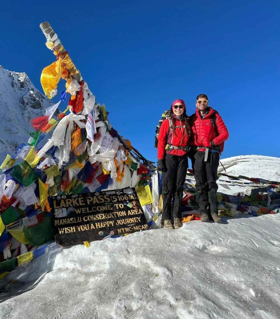
After completing the Tsum Valley loop, the route rejoins the main Manaslu Circuit at Ghap or Philim and continues north through Namrung, Lho, Shyala, and Samagaun to the high camp at Dharmashala (4,460 m). The crossing of the Larkya La Pass (5,106 m) is the physical high point of the combined trek, requiring an early morning start typically between 4:00 and 5:00 AM and 7 to 9 hours of walking through glaciated terrain before the descent to Bimthang (3,720 m). On clear days from the pass, you can see Manaslu (8,163 m), Cheo Himal (6,820 m), Himlung Himal (7,126 m), and Annapurna II (7,937 m).
Trekking only the Manaslu Circuit means skipping the most culturally distinct section of the Budhi Gandaki drainage. Trekking only Tsum Valley means missing the high-altitude challenge and Larkya La Pass crossing. The combined route gives you both: 10 to 12 days of lower-altitude cultural immersion through an area closed to outsiders until 2008, followed by 6 to 8 days of increasingly high mountain terrain. Physically, the Tsum Valley section at 2,000 to 3,700 m serves as natural acclimatisation for the higher altitudes on the Manaslu Circuit main route, making the overall altitude adaptation more gradual than the standard circuit alone.
The combined trek requires additional permits beyond the standard Manaslu Circuit set. Tsum Valley has a dedicated special permit alongside the standard RAP, MCAP, and Chum Nubri permits. As with all travel in the Manaslu restricted area, every trekker must be accompanied by a licensed guide at all times. Our team handles all permit paperwork in Kathmandu before departure.
| Permit | Area Covered | Cost |
|---|---|---|
| Restricted Area Permit (RAP) | Entire Manaslu and Tsum Valley restricted zone | USD 100/person/week (peak) + USD 15/extra day |
| Tsum Valley Special Permit | Tsum Valley specifically | Included in RAP registration fee |
| Manaslu Conservation Area Permit (MCAP) | Manaslu Conservation Area | USD 30 per person |
| Annapurna Conservation Area Permit (ACAP) | Dharapani exit section | USD 30 per person |
| Chum Nubri Rural Municipality Permit | Both Tsum and Manaslu sections | NPR 1,000 per person |
Spring (March to May) and autumn (September to November) are the two reliable windows. Autumn gives the clearest mountain visibility, particularly in October. Spring is good for lower sections of Tsum Valley where rhododendrons are in flower below 3,500 m, but snow on the Larkya La Pass can persist until late March. The monsoon months (June to August) are not recommended for either the Tsum Valley or the Manaslu Circuit because rain is persistent, trail conditions deteriorate, and the Larkya La Pass crossing carries added risk.
Both the Tsum Valley and Manaslu Circuit are restricted areas that require specialist permit handling and knowledge of remote teahouse conditions. Manaslu Treks and Expedition, the best Manaslu Circuit trek company in Nepal, has run this combined itinerary since Tsum Valley first opened to trekkers in 2008. Our guides are from Gorkha district and have walked every section of both routes across multiple seasons. They know the terrain, the checkpoint procedures, and the teahouses by name, giving you accurate on-the-ground knowledge rather than generic advice. We handle all permits in Kathmandu before departure, arrange private vehicle transport to the trailhead, and provide a full pre-trek briefing covering altitude safety, daily distances, and what to expect at each village.